Project · Miami, Florida
The Underline
The Underline is a clever answer to a very Miami problem: what can a city do with the long ribbon of land beneath an elevated train? Its answer is a planned ten-mile, 120-acre public corridor with walking and cycling routes, gardens, recreation, and connections to eight Metrorail stations. Parts are already open, with a final long section under construction.
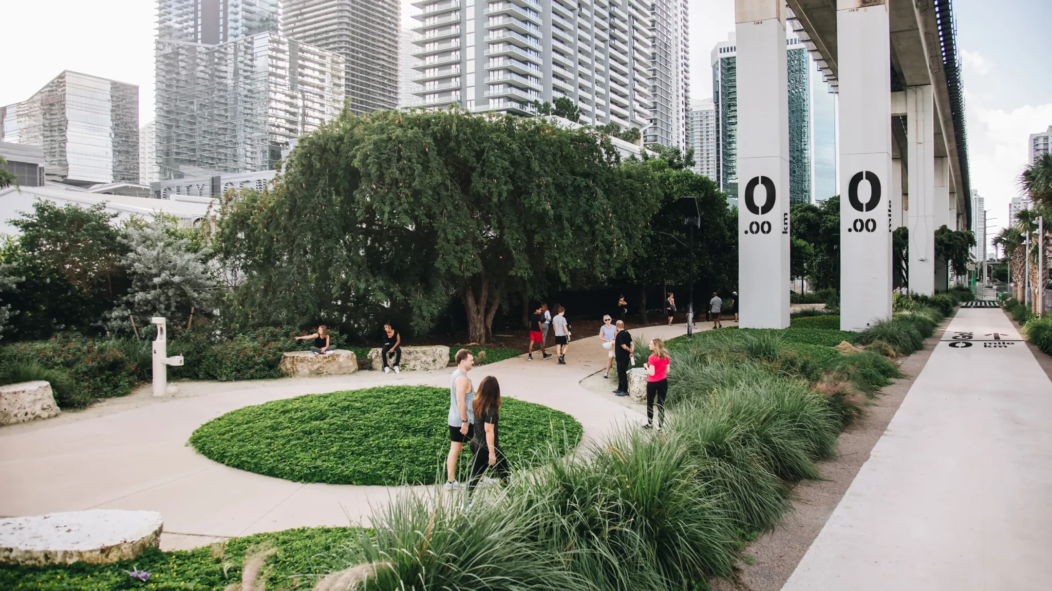
Miami-Dade County already owned a continuous strip of land beneath its Metrorail tracks. Meg Daly saw a chance to turn that overlooked space into a ten-mile public route, and founded Friends of The Underline to make it happen.
The first section, Brickell Backyard, opened in 2021. Another 2.14 miles opened in 2024, adding walking and cycling paths, gardens, art, and places to stop. The final 7.36-mile phase was scheduled for completion in 2026, but the full corridor shouldn't be described as finished until it opens.
The Underline works because the route is already threaded through the city. When complete, it will connect eight Metrorail stations and make the space below the tracks part of people's daily trips.
It's easy to overlook the land beneath elevated transit. Miami is showing how much public space was hiding there.
Key facts
- Planned ten-mile, approximately 120-acre linear park and mobility corridor beneath Metrorail.
- Brickell Backyard, the first half-mile, opened in February 2021.
- The 2.14-mile second phase opened in April 2024.
- The final 7.36-mile phase is scheduled for completion in 2026 in Miami-Dade County project information.
- The completed corridor is planned to connect eight Metrorail stations.
- Delivered through a partnership between Miami-Dade County and Friends of The Underline.